
The Huanyou UAV-CVAI Drone Centralized Control and Video AI Software Platform (hereinafter referred to as the Centralized Flight Control Platform) is used in conjunction with the airborne terminal equipment of the drones under the Guoxin Loongson Huanyou brand. It provides centralized management and control of a large number of drones (or drone nests/airports) for government and enterprise drone users. At the same time, by leveraging the latest video AI algorithms, it can achieve real-time video AI analysis and linkage. Additionally, it can customize and develop personalized functions for users, enabling drone users to use numerous drone systems more intuitively, efficiently, and safely.
The airborne terminal of the Huanyou Flybird series drones is a networking device for drones that integrates low-frequency MESH technology, drone video coding, and drone flight control. It replaces the self-owned 2.4GHz/5.8GHz wireless local area network link between the remote controller and the drone (or between the airport and the drone), and there is no need for the support of the 4G/5G public network link of the operator. It realizes the network access of the drone through a wireless metropolitan area network private network. Therefore, the Huanyou centralized flight control platform that matches it also replaces the expensive and insecure “public cloud”-based flight control platform of drone manufacturers, thus achieving localized, private network-based, large-scale, more reliable, safer, ultra-long-distance, real-time drone flight control and real-time high-definition video return, and can further expand and customize AI video analysis functions.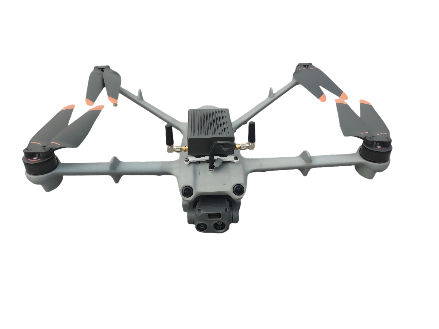
Functional Features:
The functions of the Huanyou UAV-CVAI Drone Centralized Control and Video AI Software Platform are mainly divided into ten major categories, including platform overview, live broadcast management, flight records, data storage, route management, device management, system management, supported devices, surveying and mapping functions, and AI algorithm models. Since there is no need to connect to the Internet, it can truly achieve localized and user-private security deployment. Therefore, it is very suitable for the centralized control and management of a large number of drones for government and enterprise customers, and can provide customized functions based on large model algorithms for the AI video analysis of users’ drones.
- Platform Overview: Map functions, online devices, and flight analysis;
- Live Broadcast Management: Online device list and real-time images;
- Flight Records: Display of flight tasks such as devices executing tasks and flight routes for task execution;
- Data Storage: Localized storage management and download of inspection data, videos, and photos;
- Route Management: Route display, route import, and new route addition;
- Device Management: Display of platform devices and management of newly added devices;
- System Management: Five types of system management including organizational structure, role management, personnel management, platform configuration, and operation logs;
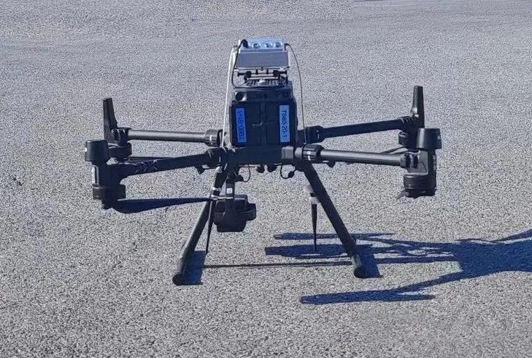
- Supported Drone Models: The platform already supports the access of the entire series of DJI industry models such as DJI M300RTK, M350RTK, DJI Airport 1, and Airport 2. At the same time, it can provide in-depth customized docking for other drones and drone nests/airports;
- Surveying and Mapping Functions: Surveying and mapping functions such as route planning, aerial surveying and mapping, and orthophoto mapping;
- AI Algorithm Models: Three major AI algorithm training models including the training platform, application platform, and display platform.
Typical Applications:
- Centralized management and control of drones and AI analysis of drone videos for government agencies such as public security, maritime affairs, fishery administration, fire protection, urban management, forestry, and water conservancy.
- Centralized control of drone inspection & operation and application of video AI for enterprises in industries like electricity, petroleum, ports, pipelines, highways, railways, energy, and logistics.
- Centralized management and control of drones in emergency rescue, disaster relief, and emergency scenarios.